Gaia GIS Toolsuite
The Gaia GIS Tool Suite is a web application designed for the visualization and analysis of georeferenced data straight from your browser.
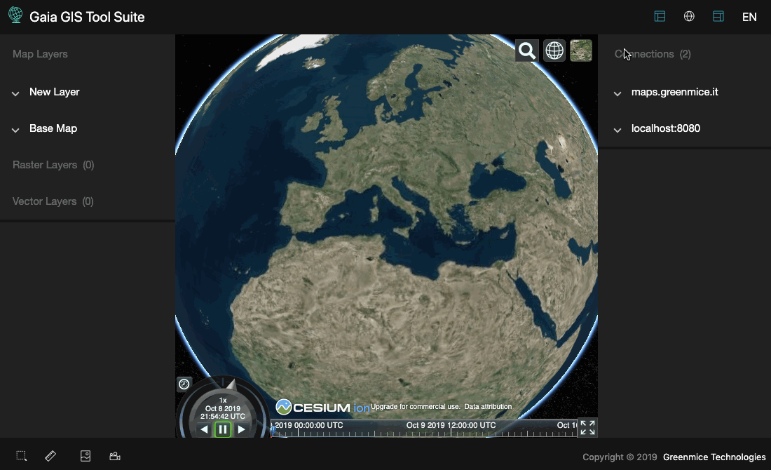
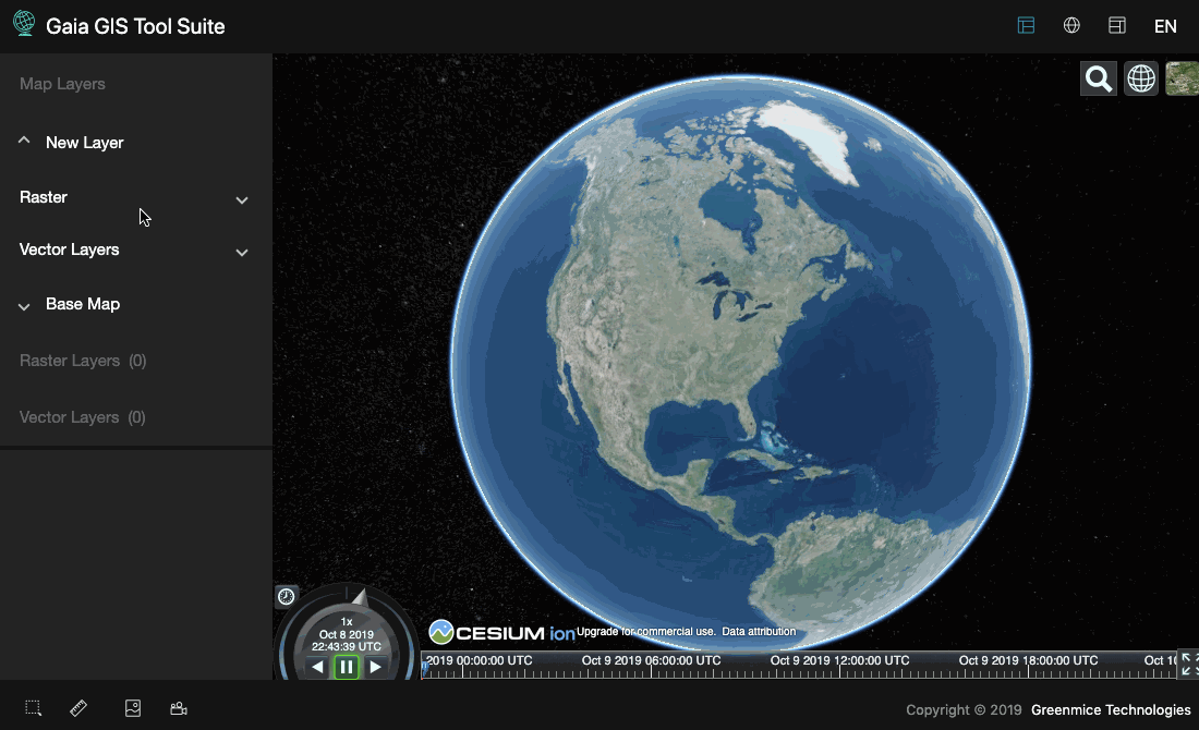
Gaia enables users to visualize GIS information on a map in a wide range of formats, supporting both three-dimensional and dynamic temporal representations.
Leveraging the power of the open-source Cesium framework for 3D map visualization, Gaia guarantees a seamless and immersive user experience.
Overview
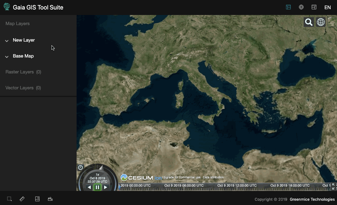
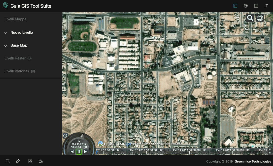
Its minimalist layout facilitates quick and intuitive access to all features. Users have the option to show or hide sidebars, or even expand the map to a full-screen view for a more immersive visualization.
The built-in screenshot capture and recording tools offer the possibility to obtain images and videos of the map for use in other presentation tools.
Raster Layer
Gaia allows for the swift display of multiple raster layers, thanks to the functionality of WMS URL upload. Users can modify the display order of the various layers and tweak numerous parameters within layer properties to create transparency or impactful blending effects.
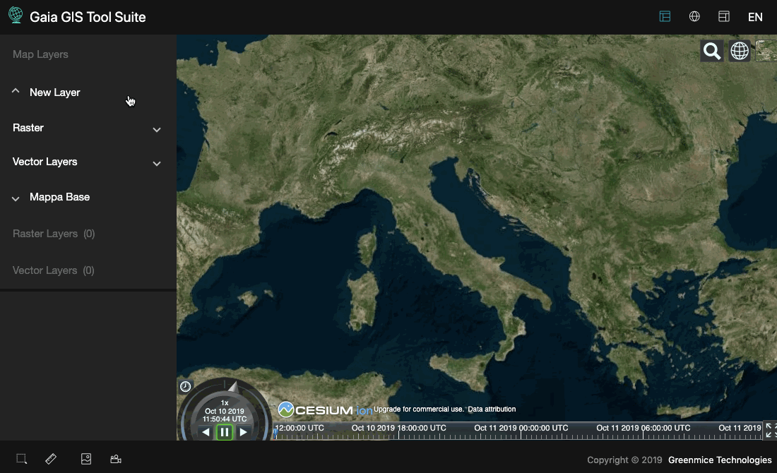
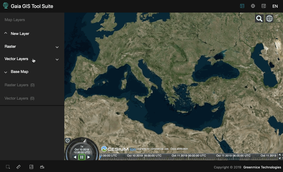
Vector Layer
Gaia supports the display of vector layers from files or URLs in various formats such as JSON (Geojson and Topojson), KML, and CZML.

Time dynamic information
Gaia is equipped to handle the 4-dimensional dynamic time visualization of simulations and real-time telemetry data streaming.
Data sources
Gaia can connect to one or more concurrent instances of Geoserver, equipping users with the robust and practical capabilities of this powerful open-source map server.
In Gaia, users can visualize data from a broad range of both relational (Oracle, PostgreSQL, MySQL) and non-relational (MongoDB) GIS databases, as well as from sources such as ArcGrid, WorldImage, ImageMosaic, Shapefile, CSV, GeoTIFF, among others.
Utilizing advanced APIs for data querying and searching, it is possible to view subsets of data and export them in a multitude of image formats (GIF, PNG, JPEG, GeoTIFF, PDF, SVG, etc.) and data formats (CSV, GML, KML, Shapefile, Geojson).
For more information, feel free to reach out to us. We are eager to lend our expertise for your upcoming GIS projects.